


PIX4Dfields
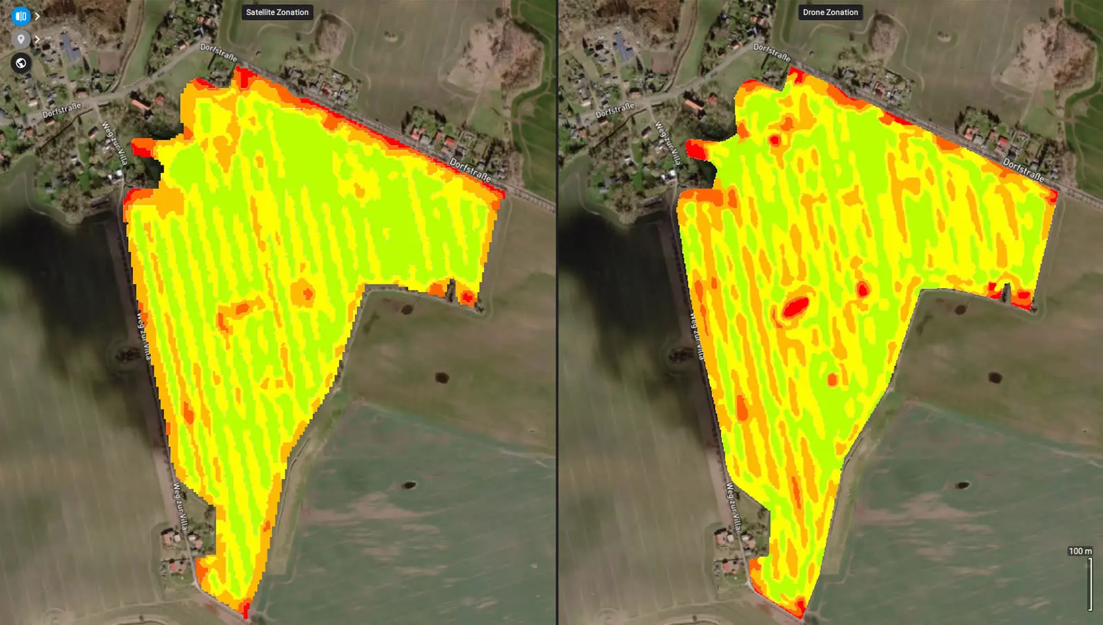
Rapidly create maps without leaving the field (offline available), for faster decision-making and action. Get maps of your fields and crops at any stage using satellite and/or drone imagery. From images to insights, create crop health maps, field reports, spot spraying, and prescription maps for your agricultural machinery. Share your data via PIX4Dcloud as PDF reports and in industry standard formats.
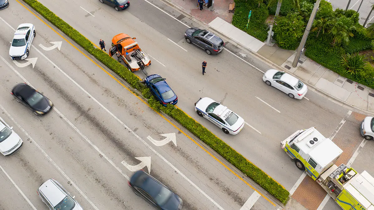
Mapping software for emergency response
Get rapid and reliable situational awareness for quick decisions and collaboration in the field.
PIX4Dreact creates 2D maps from aerial imagery in minutes. Because when every second counts, up-to-date and reliable information is of utmost importance to teams on the ground.
Simple and intuitive to use, even in complex and stressful situations. PIX4Dreact is developed with public safety and humanitarian aid professionals to meet their unique challenges.
Lightweight enough to work on a mid-range computer in the field. PIX4Dreact doesn’t rely on an internet connection or the cloud for processing.
PIX4Dreact outputs can be uploaded to PIX4Dcloud for sharing. Export your maps and reports and seamlessly send them to colleagues or teams on the ground.
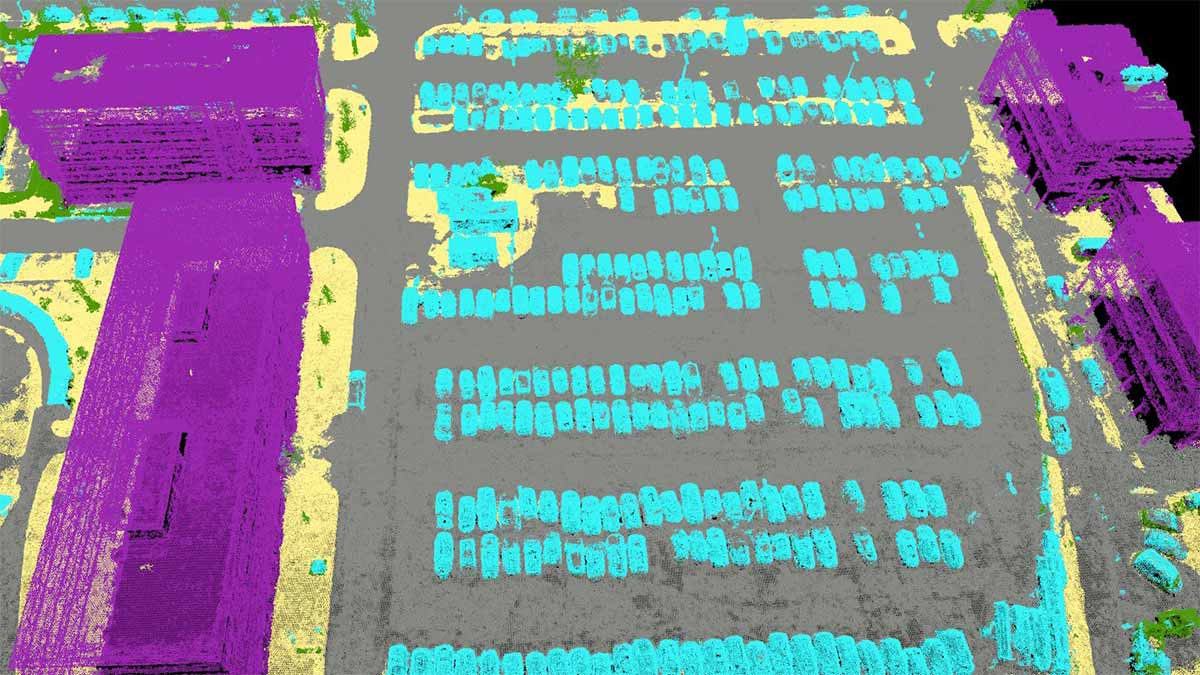
PIX4Dmatic
Processes thousands of images while maintaining survey-grade accuracy, halving the processing time, without the trouble of splitting and merging.
Developed in close-collaboration with surveyors and mapping professionals to streamline your workflow: import, process and assess the quality of a project in just a few clicks, and move seamlessly from PIX4Dmatic to PIX4Dsurvey.
Leverage the benefits of both photogrammetry and LiDAR technology. Process LiDAR and RGB image outputs from PIX4Dcatch for a full terrestrial workflow. Easy and desktop-based.
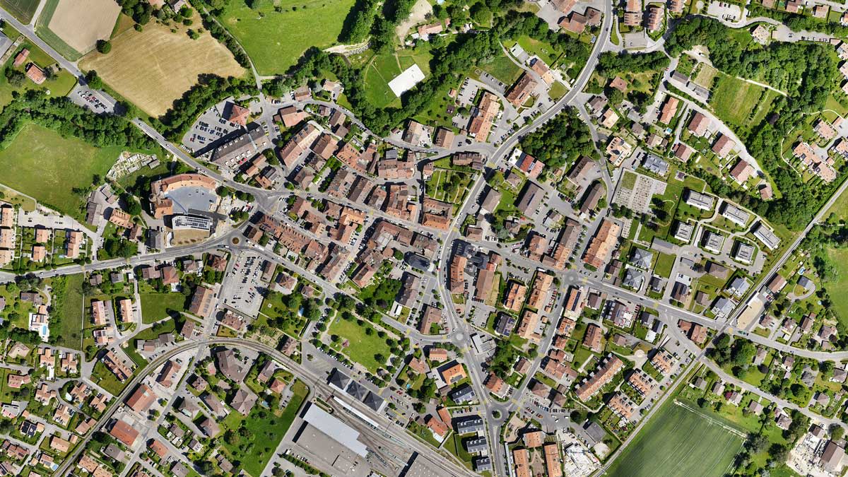
PIX4Dmapper
A Survey-grade results
Obtain results with sub-centimetre accuracy thanks to photogrammetric analysis. 1-2 pixel GSD in X, Y directions 1-3 pixels GSD in the Z direction
Complete control over your project
Define an area of interest, select processing options, add ground control points or edit point clouds, DSMs, meshes, and orthomosaics.
Your workflow, your choice
Use default templates for automatic processing of your projects, or create your own with custom settings for full control over the data and quality.